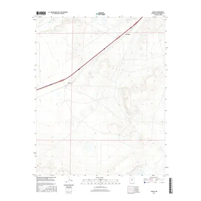
2017 Map of Onava
USGS Topo · Published 2017About this map
Sapello River flows through the northern reaches of this San Miguel County landscape, providing a vital water source in an area defined by its high-desert topography. The settlement of Onava sits near the center of the map, positioned along the path of modern transit, while Kroenigs occupies the northeastern corridor. This 2017 study illustrates the modern alignment of Interstate 25 as it cuts diagonally across the terrain, serving as the primary artery connecting these small rural communities. The map detail reflects a quiet ranching and transit landscape, where the traditional names of Kroenigs and Onava persist alongside contemporary transportation infrastructure.
Find a feature on this map
4 named features on this map. Tap any name to fly to it.
Don’t see what you’re looking for? This feature index may not catch every label — zoom into the map to look around manually.
Map Details
Editions of this 2017 Onava Map
This is the sole edition of this map. No revisions or reprints were ever made.
Other maps of this area
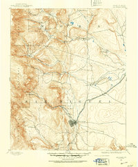
1889 · Las Vegas
USGS Topo · 1:125,000
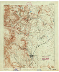
1891 · Las Vegas
USGS Topo · 1:125,000
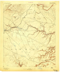
1892 · Watrous
USGS Topo · 1:125,000
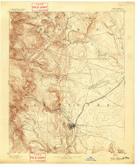
1893 · Las Vegas
USGS Topo · 1:125,000
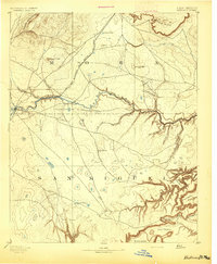
1894 · Watrous
USGS Topo · 1:125,000
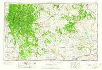
1954 · Santa Fe
USGS Topo · 1:250,000
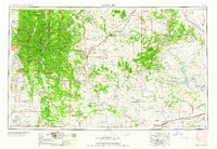
1958 · Santa Fe
USGS Topo · 1:250,000
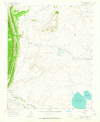
1963 · Lake Isabel
USGS Topo · 1:24,000
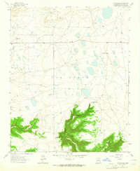
1963 · Las Vegas SE
USGS Topo · 1:24,000
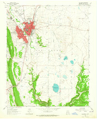
1963 · Las Vegas
USGS Topo · 1:24,000