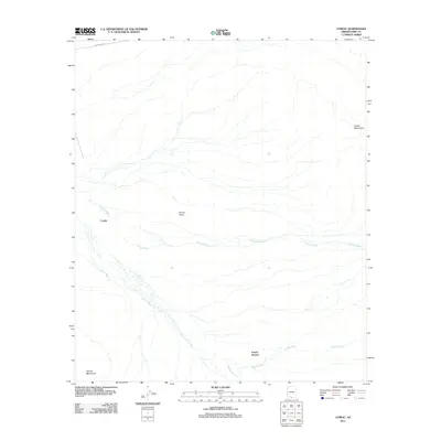
2011 Map of Cowlic
USGS Topo · Published 2011About this map
Cowlic and the settlement of Vopolo Havoka anchor this 2011 survey of the Sonoran landscape. The terrain is defined by the broad Vamori Valley, which is framed by the Artesa Mountains to the east and the Alvarez Mountains to the southwest. This area is characterized by a complex network of ephemeral drainage systems, most notably Fresnal Wash, Vamori Wash, and Topawa Wash, which illustrate the natural water movement across the desert floor. Infrastructure is sparse, primarily represented by Indian Rte 20 crossing the northern portion of the quadrangle. The map captures the relationship between these small settlements and the vast, arid valley they inhabit, providing a precise look at the drainage patterns and topographic relief of this part of Pima County.
Find a feature on this map
9 named features on this map. Tap any name to fly to it.
Don’t see what you’re looking for? This feature index may not catch every label — zoom into the map to look around manually.
Map Details
Editions of this 2011 Cowlic Map
This is the sole edition of this map. No revisions or reprints were ever made.
Other maps of this area

1941 · Vamori
USGS Topo · 1:62,500

1941 · Sells
USGS Topo · 1:62,500

1943 · Sells
USGS Topo · 1:62,500

1943 · Fresnal
USGS Topo · 1:125,000

1943 · Vamori
USGS Topo · 1:62,500

1954 · Sonoyta
USGS Topo · 1:250,000

1956 · Nogales
USGS Topo · 1:250,000

1958 · Nogales
USGS Topo · 1:250,000

1959 · Nogales
USGS Topo · 1:250,000

1963 · Gu Oidak
USGS Topo · 1:62,500