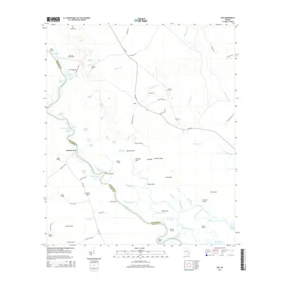
2014 Map of Cox
USGS Topo · Published 2014About this map
Cox stands at the center of this 2014 survey, marking a rural landscape defined by the serpentine path of the Altamaha River. Along the waterway, the riverine environment is punctuated by oddly named features like Alligator Congress and Old Womans Pocket, indicating a long history of local navigation and lore within the coastal plain. The boundary between McIntosh and Glynn counties follows the river's channel, passing notable landmarks such as Clarks Bluff and Werriats Island.
Find a feature on this map
89 named features on this map. Tap any name to fly to it.
Don’t see what you’re looking for? This feature index may not catch every label — zoom into the map to look around manually.
Map Details
Editions of this 2014 Cox Map
This is the sole edition of this map. No revisions or reprints were ever made.
Other maps of this area

1918 · Everett City
USGS Topo · 1:62,500

1920 · Sapelo River
USGS Topo · 1:62,500

1920 · Everett City
USGS Topo · 1:62,500

1921 · Darien
USGS Topo · 1:62,500

1943 · Ludowici
USGS Topo · 1:62,500

1943 · Sapelo River
USGS Topo · 1:62,500

1944 · Everett City
USGS Topo · 1:62,500

1945 · Sapelo River
USGS Topo · 1:62,500

1946 · Brunswick
USGS Topo · 1:250,000

1948 · Brunswick
USGS Topo · 1:250,000