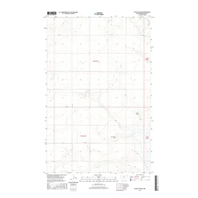
2017 Map of Coyote Coulee
USGS Topo · Published 2017About this map
Coyote Coulee and the South Branch Coulee define the drainage patterns of this high plains landscape in Roosevelt County. The area is characterized by a sparse network of section-line roads and intermittent waterways, such as Smoke Cr and Spring Cr, which carved these deep coulees over millennia. Transportation is anchored by Hwy 344 W in the north, while a series of numbered local routes like Rd 2050 and Rd 1037 provide access to the vast agricultural and grazing sections. In the southern portion of the quadrangle, Lake Cr flows through lower elevations, surrounded by extensive wetland areas. This survey reflects the enduring Public Land Survey System structure of the Brockton District, with township and range boundaries clearly demarcating the rural Montana interior.
Find a feature on this map
16 named features on this map. Tap any name to fly to it.
Don’t see what you’re looking for? This feature index may not catch every label — zoom into the map to look around manually.
Map Details
Editions of this 2017 Coyote Coulee Map
This is the sole edition of this map. No revisions or reprints were ever made.
Other maps of this area

1909 · Smoke Creek
USGS Topo · 1:62,500

1912 · Smoke Creek
USGS Topo · 1:62,500

1914 · Brockton
USGS Topo · 1:62,500

1914 · Homestead
USGS Topo · 1:62,500

1947 · Rocky Point
USGS Topo · 1:24,000

1948 · Rocky Point
USGS Topo · 1:24,000

1948 · Fort Kipp
USGS Topo · 1:24,000

1949 · Fort Kipp
USGS Topo · 1:24,000

1950 · Coyote Coulee
USGS Topo · 1:24,000

1950 · Calais
USGS Topo · 1:24,000