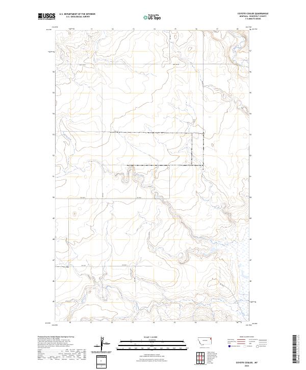
2024 Map of Coyote Coulee
USGS Topo · Published 2024About this map
Spring Creek meanders across this Roosevelt County landscape, defining the local drainage patterns and topography in an area characterized by its wide coulees and intermittent watercourses. The drainage of Lake Creek cuts through the southern portion of the quadrangle, while Smoke Creek appears in the northeast corner, reflecting the hydrological network of the Montana high plains. The map illustrates a developed township and range system, specifically within t30n r53e and t29n r53e, where the section lines dictate the modern road network. This grid is serviced by several local connectors and secondary routes including Hwy 344 W and Rd 2048, which facilitate movement between the expansive sections of ranching or agricultural land. The topographical data provides a precise view of the elevation changes and coulee formations that shape this part of the Missouri River watershed.
Find a feature on this map
14 named features on this map. Tap any name to fly to it.
Don’t see what you’re looking for? This feature index may not catch every label — zoom into the map to look around manually.
Map Details
Editions of this 2024 Coyote Coulee Map
This is the sole edition of this map. No revisions or reprints were ever made.
Other maps of this area

1909 · Smoke Creek
USGS Topo · 1:62,500

1912 · Smoke Creek
USGS Topo · 1:62,500

1914 · Brockton
USGS Topo · 1:62,500

1914 · Homestead
USGS Topo · 1:62,500

1947 · Rocky Point
USGS Topo · 1:24,000

1948 · Rocky Point
USGS Topo · 1:24,000

1948 · Fort Kipp
USGS Topo · 1:24,000

1949 · Fort Kipp
USGS Topo · 1:24,000

1950 · Coyote Coulee
USGS Topo · 1:24,000

1950 · Calais
USGS Topo · 1:24,000