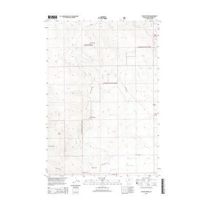
2014 Map of Coyote Creek
USGS Topo · Published 2014About this map
Beaverhead National Forest land dominates this high-elevation landscape in Beaverhead County, defined by a complex drainage system that feeds into the Bloody Dick Cr watershed. The topography is marked by named features such as Big Hollow and the vast Poverty Flats, revealing a region shaped by both natural erosion and early water management. Civil engineering is evident in the Lower Bloody Dick Ditch, which follows the southern contours of the map, and the presence of Guard Station Rd, suggesting a history of forest management and early twentieth-century administrative presence. Smaller waterways like Lodgepole Cr, Houlihan Springs, and Rawhide Cr weave through the township and range lines, while landmarks like Roberts Gulch and Sullivan Gulch provide specific points of reference for local historians and land surveyors.
Find a feature on this map
28 named features on this map. Tap any name to fly to it.
Don’t see what you’re looking for? This feature index may not catch every label — zoom into the map to look around manually.
Map Details
Editions of this 2014 Coyote Creek Map
This is the sole edition of this map. No revisions or reprints were ever made.
Other maps of this area

1955 · Dubois
USGS Topo · 1:250,000

1955 · Dillon
USGS Topo · 1:250,000

1957 · Dillon
USGS Topo · 1:250,000

1958 · Dubois
USGS Topo · 1:250,000

1958 · Dillon
USGS Topo · 1:250,000

1959 · Grant
USGS Topo · 1:62,500

1962 · Dillon
USGS Topo · 1:250,000

1965 · Dillon
USGS Topo · 1:250,000

1965 · Jeff Davis Peak
USGS Topo · 1:24,000

1965 · Lemhi Pass
USGS Topo · 1:24,000