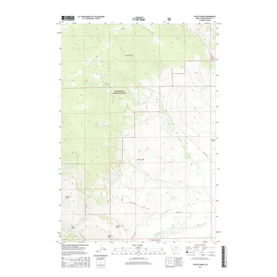
2017 Map of Coyote Creek
USGS Topo · Published 2017About this map
Beaverhead National Forest defines the high-country character of this Beaverhead County landscape, where an intricate network of drainages feeds into the larger valley systems. The map detail highlights the hydrological complexity of the region, anchored by the winding course of Coyote Creek and its many tributaries like W Coyote Cr and Lodgepole Cr. To the south, the terrain opens into named depressions such as Hamilton Gulch, Big Hollow, and Roberts Gulch, suggesting the erosional patterns of this high-altitude environment.
Find a feature on this map
30 named features on this map. Tap any name to fly to it.
Don’t see what you’re looking for? This feature index may not catch every label — zoom into the map to look around manually.
Map Details
Editions of this 2017 Coyote Creek Map
This is the sole edition of this map. No revisions or reprints were ever made.
Other maps of this area

1955 · Dubois
USGS Topo · 1:250,000

1955 · Dillon
USGS Topo · 1:250,000

1957 · Dillon
USGS Topo · 1:250,000

1958 · Dubois
USGS Topo · 1:250,000

1958 · Dillon
USGS Topo · 1:250,000

1959 · Grant
USGS Topo · 1:62,500

1962 · Dillon
USGS Topo · 1:250,000

1965 · Dillon
USGS Topo · 1:250,000

1965 · Jeff Davis Peak
USGS Topo · 1:24,000

1965 · Lemhi Pass
USGS Topo · 1:24,000