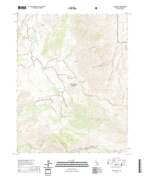
2021 Map of Coyote Flat
USGS Topo · Published 2021About this map
Sky Haven sits at the western edge of this high-altitude landscape within the Inyo National Forest, where the Eastern Sierra Nevada transitions from steep canyons into the expansive plateau of Coyote Flats. This 2021 survey illustrates a complex network of seasonal water sources and meadows that have historically supported grazing and recreational travel, including Sanger Meadow and High Meadows. The terrain is defined by dramatic elevation changes, from the depths of Shannon Canyon and Owens Valley in the east to the alpine basins containing Hidden Lake and Summit Lake.
Find a feature on this map
56 named features on this map. Tap any name to fly to it.
Don’t see what you’re looking for? This feature index may not catch every label — zoom into the map to look around manually.
Map Details
Editions of this 2021 Coyote Flat Map
This is the sole edition of this map. No revisions or reprints were ever made.
Other maps of this area

1912 · Mt. Goddard
USGS Topo · 1:125,000

1913 · Bishop
USGS Topo · 1:125,000

1947 · Mariposa
USGS Topo · 1:250,000

1948 · Mariposa
USGS Topo · 1:250,000

1948 · Mt. Goddard
USGS Topo · 1:62,500

1949 · Mt. Tom
USGS Topo · 1:62,500

1949 · Bishop
USGS Topo · 1:62,500

1950 · Big Pine
USGS Topo · 1:62,500

1951 · Mt. Tom
USGS Topo · 1:62,500

1951 · Mt. Goddard
USGS Topo · 1:62,500