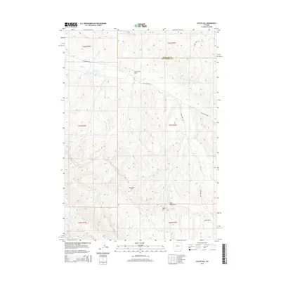
2015 Map of Coyote Hill
USGS Topo · Published 2015About this map
Kirby Cr defines the drainage of this portion of Wyoming, where the high desert landscape meets the northern border of Hot Springs County. The waterway flows eastward through a series of draws and basins, including the notable Major Basin Draw and Olsen Draw. Strategic water resources are marked by the Kirby Cr Reservoir and natural flows from Malcolm Spring and Brontley Spring, which were vital for ranching and livestock in this arid region. The terrain is dominated by prominent elevations such as Monument Hill and Coyote Hill, providing high vantage points over the surrounding draws. Significant local access is provided by Black Mountain Rd and Kirby Creek Rd, which navigate the complex topography of the southern Bighorn Basin.
Find a feature on this map
21 named features on this map. Tap any name to fly to it.
Don’t see what you’re looking for? This feature index may not catch every label — zoom into the map to look around manually.
Map Details
Editions of this 2015 Coyote Hill Map
This is the sole edition of this map. No revisions or reprints were ever made.
Other maps of this area

1945 · Kirby
USGS Topo · 1:62,500

1946 · Kirby
USGS Topo · 1:62,500

1952 · Rathbun Ranch
USGS Topo · 1:24,000

1955 · Thermopolis
USGS Topo · 1:250,000

1955 · Arminto
USGS Topo · 1:250,000

1957 · Rathbun Ranch
USGS Topo · 1:24,000

1958 · Thermopolis
USGS Topo · 1:250,000

1958 · Arminto
USGS Topo · 1:250,000

1960 · Devil Slide
USGS Topo · 1:24,000

1960 · Coyote Hill
USGS Topo · 1:24,000