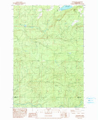
1983 Map of Coyote Mtn
USGS Topo · Published 1991About this map
The Lewis and Cowlitz County border area is defined by its industrial timber history and complex drainage systems in the early 1980s. The landscape is dominated by heavy relief, including Coyote Mountain and Crazy Mountain, with timber operations evidenced by a network of unimproved roads and 4WD trails. The presence of Camp 9 (Site) and Camp 10 (Site) suggests former logging headquarters that had transitioned to historical sites by the time of this 1981 field check.
Find a feature on this map
20 named features on this map. Tap any name to fly to it.
Don’t see what you’re looking for? This feature index may not catch every label — zoom into the map to look around manually.
Map Details
Editions of this 1983 Coyote Mtn Map
2 editions found
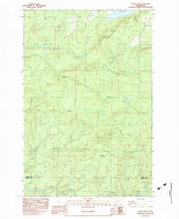
Other maps of this area

1916 · Chehalis
USGS Topo · 1:125,000

1919 · Mount St Helens
USGS Topo · 1:125,000

1937 · Eatonville
USGS Topo · 1:125,000

1942 · Toutle
USGS Topo · 1:62,500

1943 · Willapa
USGS Topo · 1:62,500

1953 · Hoquiam
USGS Topo · 1:250,000

1953 · Toutle
USGS Topo · 1:62,500

1953 · Elk Rock
USGS Topo · 1:62,500

1954 · Onalaska
USGS Topo · 1:62,500

1957 · Hoquiam
USGS Topo · 1:250,000