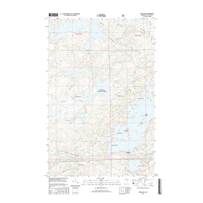
2016 Map of Crab Lake
USGS Topo · Published 2016About this map
The Superior National Forest dominates this landscape, defined by an intricate network of glacial lakes and portage-connected waterways within the Boundary Waters region. Burntside Lake anchors the southeastern portion of the map, characterized by significant landforms such as Pine Island and Snellman Island. The interior is marked by a high density of smaller water bodies including Crab Lake, Hassel Lake, and Battle Lake, many of which are linked by the Korb River.
Find a feature on this map
71 named features on this map. Tap any name to fly to it.
Don’t see what you’re looking for? This feature index may not catch every label — zoom into the map to look around manually.
Map Details
Editions of this 2016 Crab Lake Map
This is the sole edition of this map. No revisions or reprints were ever made.
Other maps of this area

1933 · Ely
USGS Topo · 1:62,500

1939 · Ely
USGS Topo · 1:62,500

1954 · Two Harbors
USGS Topo · 1:250,000

1954 · Hibbing
USGS Topo · 1:250,000

1954 · International Falls
USGS Topo · 1:250,000

1956 · Chad Lake
USGS Topo · 1:24,000
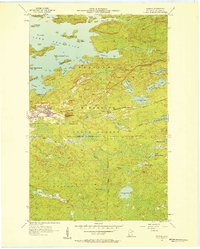
1956 · Soudan
USGS Topo · 1:24,000

1956 · Crab Lake
USGS Topo · 1:24,000

1956 · Eagles Nest
USGS Topo · 1:24,000

1957 · Two Harbors
USGS Topo · 1:250,000