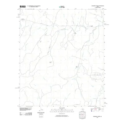
2010 Map of Crabapple Creek
USGS Topo · Published 2010About this map
The Blanco River and its numerous tributaries define this pocket of the Texas Hill Country, carving deep hollows through the landscape at the turn of the 21st century. The map centers on the winding course of the river as it joins with the South Fork Blanco River and Crabapple Creek, a region characterized by dispersed rural settlements and low-water crossings. Social landmarks like the Lindendale Community Hall and the settlement of Flugrath serve as anchor points for the local community, while the Givens-Bindseil Cemetery provides a specific point of interest for genealogists tracing family roots in Blanco County.
Find a feature on this map
37 named features on this map. Tap any name to fly to it.
Don’t see what you’re looking for? This feature index may not catch every label — zoom into the map to look around manually.
Map Details
Editions of this 2010 Crabapple Creek Map
This is the sole edition of this map. No revisions or reprints were ever made.
Other maps of this area

1887 · Blanco
USGS Topo · 1:125,000

1894 · Fredericksburg
USGS Topo · 1:125,000

1894 · Blanco
USGS Topo · 1:125,000

1920 · Smithsons Valley
USGS Topo · 1:62,500

1927 · Smithson Valley
USGS Topo · 1:62,500

1929 · Smithson Valley
USGS Topo · 1:62,500

1940 · Smithson Valley
USGS Topo · 1:62,500

1954 · Llano
USGS Topo · 1:250,000

1954 · San Antonio
USGS Topo · 1:250,000

1955 · Llano
USGS Topo · 1:250,000