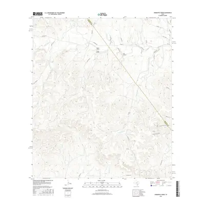
2016 Map of Crabapple Creek
USGS Topo · Published 2016About this map
The Blanco River and its numerous tributaries, including the S Fork Blanco River and Little Blanco River, define the landscape of this region along the border of Blanco County and Kendall County. In this part of the Texas Hill Country, the drainage patterns are deeply incised, creating distinct topographic features such as Barker Hollow, Hog Hollow, and Sleepy Hollow. Settlement is dispersed, connected by a network of rural roads such as Crabapple Rd and Old Blanco Rd. The presence of the Givens Cem and several low water crossings, including one marked Low Water X on Crabapple Creek, indicates a long history of rural habitation where residents adapted to the frequent rises of local waterways like Boggy Creek and Falls Cr.
Find a feature on this map
42 named features on this map. Tap any name to fly to it.
Don’t see what you’re looking for? This feature index may not catch every label — zoom into the map to look around manually.
Map Details
Editions of this 2016 Crabapple Creek Map
This is the sole edition of this map. No revisions or reprints were ever made.
Other maps of this area

1887 · Blanco
USGS Topo · 1:125,000

1894 · Fredericksburg
USGS Topo · 1:125,000

1894 · Blanco
USGS Topo · 1:125,000

1920 · Smithsons Valley
USGS Topo · 1:62,500

1927 · Smithson Valley
USGS Topo · 1:62,500

1929 · Smithson Valley
USGS Topo · 1:62,500

1940 · Smithson Valley
USGS Topo · 1:62,500

1954 · Llano
USGS Topo · 1:250,000

1954 · San Antonio
USGS Topo · 1:250,000

1955 · Llano
USGS Topo · 1:250,000