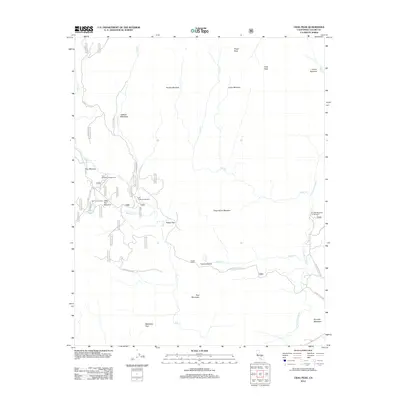
2012 Map of Crag Peak
USGS Topo · Published 2012About this map
Troy Meadow and the surrounding high-altitude meadows of the Sierra Nevada mountains define this 2012 survey. The landscape is characterized by a series of significant clearings and grazing grounds including Jackass Meadows, Hooker Meadow, and Dead Horse Meadow, many of which are connected by Forest Service routes such as Forest Rte 21S01. The eastern edge of the map is dominated by the S Fork Kern River, where Kennedy Meadows provides a focal point for backcountry access and camping.
Find a feature on this map
32 named features on this map. Tap any name to fly to it.
Don’t see what you’re looking for? This feature index may not catch every label — zoom into the map to look around manually.
Map Details
Editions of this 2012 Crag Peak Map
This is the sole edition of this map. No revisions or reprints were ever made.
Other maps of this area

1905 · Olancha
USGS Topo · 1:125,000

1906 · Kernville
USGS Topo · 1:125,000

1907 · Olancha
USGS Topo · 1:125,000

1908 · Kernville
USGS Topo · 1:125,000

1948 · Bakersfield
USGS Topo · 1:250,000

1948 · Fresno
USGS Topo · 1:250,000

1955 · Bakersfield
USGS Topo · 1:250,000

1955 · Fresno
USGS Topo · 1:250,000

1956 · Bakersfield
USGS Topo · 1:250,000

1956 · Fresno
USGS Topo · 1:250,000