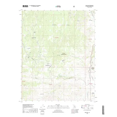
2018 Map of Crag Peak
USGS Topo · Published 2018About this map
Edwards AFB installations occupy high-altitude clearings in this part of the Sierra Nevada mountain range, situated between the Sequoia National Forest and Inyo National Forest. This remote terrain is defined by a network of seasonal meadows and meadows, including Hooker Meadow, Corral Meadow, and Dead Horse Meadow, which historically supported livestock and timber operations.
Find a feature on this map
38 named features on this map. Tap any name to fly to it.
Don’t see what you’re looking for? This feature index may not catch every label — zoom into the map to look around manually.
Map Details
Editions of this 2018 Crag Peak Map
This is the sole edition of this map. No revisions or reprints were ever made.
Other maps of this area

1905 · Olancha
USGS Topo · 1:125,000

1906 · Kernville
USGS Topo · 1:125,000

1907 · Olancha
USGS Topo · 1:125,000

1908 · Kernville
USGS Topo · 1:125,000

1948 · Bakersfield
USGS Topo · 1:250,000

1948 · Fresno
USGS Topo · 1:250,000

1955 · Bakersfield
USGS Topo · 1:250,000

1955 · Fresno
USGS Topo · 1:250,000

1956 · Bakersfield
USGS Topo · 1:250,000

1956 · Fresno
USGS Topo · 1:250,000