
1948 Map of Craig A-1
USGS Topo · Published 1957About this map
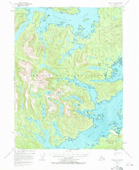
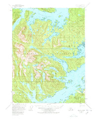
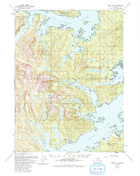
Cholmondeley Sound and Moira Sound dominate this coastal landscape on Prince of Wales Island, illustrating the maritime-dependent settlement patterns of the late 1940s. The presence of a Cannery at Cannery Pt and a Mine near Paul Lake highlights the era's reliance on the region's natural resources. Several locations are already noted as inactive by the time of publication, including the settlements of Dolomie and Niblack, providing a record of shifting industrial priorities in the Alexander Archipelago. Deep inlets like Dora Bay and Dickman Bay cut into the mountainous interior, which peaks at Eucora Mountain. The map details a network of freshwater bodies such as Miller Lake and Kegan Lake, alongside coastal landmarks like Hump I and Deichman I that served as vital navigation points for local watercraft.
Find a feature on this map
55 named features on this map. Tap any name to fly to it.
Don’t see what you’re looking for? This feature index may not catch every label — zoom into the map to look around manually.
Map Details
Editions of this 1948 Craig A-1 Map
4 editions found
Other maps of this area

1948 · Dixon Entrance D-2
USGS Topo · 1:63,360

1948 · Prince Rupert D-6
USGS Topo · 1:63,360

1948 · Ketchikan A-6
USGS Topo · 1:63,360

1948 · Dixon Entrance D-1
USGS Topo · 1:63,360

1948 · Craig A-2
USGS Topo · 1:63,360

1949 · Craig B-2
USGS Topo · 1:63,360

1949 · Craig B-1
USGS Topo · 1:63,360

1950 · Craig B-1
USGS Topo · 1:63,360

1951 · Craig B-2
USGS Topo · 1:63,360

1951 · Prince Rupert
USGS Topo · 1:250,000