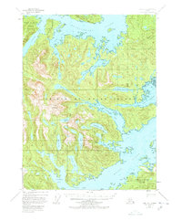
1948 Map of Craig A-1
USGS Topo · Published 1978About this map
Prince of Wales Island is documented here as it appeared in the late 1940s, revealing a landscape defined by deep fjords and isolated industrial outposts. The map highlights the intersection of the maritime economy and the interior wilderness, centered on Cholmondeley Sound and Moira Sound. A notable Cannery sits at Cannery Cove along the North Arm, serving as a primary node for the region's salmon-driven industry. To the south, Dickman Bay and Kegan Cove provide sheltered anchorage within the intricate shoreline.
Find a feature on this map
47 named features on this map. Tap any name to fly to it.
Don’t see what you’re looking for? This feature index may not catch every label — zoom into the map to look around manually.
Map Details
Editions of this 1948 Craig A-1 Map
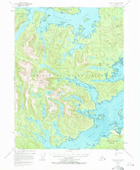
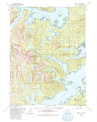
4 editions found
Other maps of this area

1948 · Dixon Entrance D-2
USGS Topo · 1:63,360

1948 · Prince Rupert D-6
USGS Topo · 1:63,360

1948 · Ketchikan A-6
USGS Topo · 1:63,360

1948 · Craig A-1
USGS Topo · 1:63,360

1948 · Dixon Entrance D-1
USGS Topo · 1:63,360

1948 · Craig A-2
USGS Topo · 1:63,360

1949 · Craig B-2
USGS Topo · 1:63,360

1949 · Craig B-1
USGS Topo · 1:63,360

1950 · Craig B-1
USGS Topo · 1:63,360

1951 · Craig B-2
USGS Topo · 1:63,360