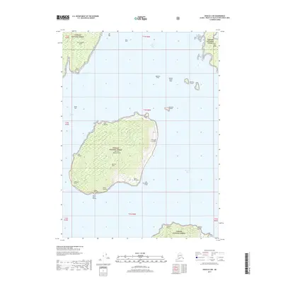
2017 Map of Craig B-4 NW
USGS Topo · Published 2017About this map
San Juan Bautista Island dominates this coastal survey within the Tongass National Forest, rising to its highest point at Bautista Peak. This maritime landscape in Southeast Alaska is defined by a complex network of waterways, including San Alberto Bay and the Ursua Channel, which separate the major landmasses from the western edge of San Fernando Island. The map records numerous coastal landmarks with Spanish nomenclature, such as Punta de los Almos, Punta Palmito, and Point Milliflores, reflecting the region's early navigational history. To the north and east, several hazards and small landforms emerge from the sea, including the Balandra Shoal, the Ballena Islands, and the distinct Shaft Rock. This 2017 edition provides a precise view of the shorelines and topography of the Alexander Archipelago before the natural landscape underwent further change.
Find a feature on this map
35 named features on this map. Tap any name to fly to it.
Don’t see what you’re looking for? This feature index may not catch every label — zoom into the map to look around manually.
Map Details
Editions of this 2017 Craig B-4 NW Map
This is the sole edition of this map. No revisions or reprints were ever made.
Other maps of this area

1948 · Craig B-5
USGS Topo · 1:63,360

1949 · Craig C-4
USGS Topo · 1:63,360

1949 · Craig B-4
USGS Topo · 1:63,360

1951 · Craig B-4
USGS Topo · 1:63,360

1951 · Craig C-4
USGS Topo · 1:63,360

1951 · Craig C-5
USGS Topo · 1:63,360

1957 · Craig
USGS Topo · 1:250,000

2000 · Craig B-5
USGS Topo · 1:63,360
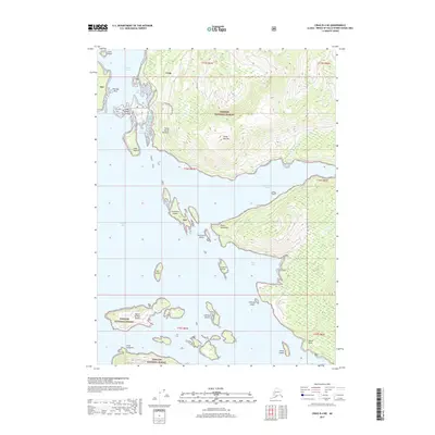
2017 · Craig B-4 NE
USGS Topo · 1:25,000
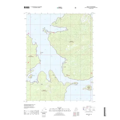
2017 · Craig B-4 SW
USGS Topo · 1:25,000