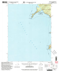
2000 Map of Craig B-6
USGS Topo · Published 2003About this map
The rugged western coastline of Noyes Island and the northern tip of Baker Island dominate this coastal survey within the Tongass National Forest. Defined by the vast expanse of the Pacific Ocean, the map focuses on the maritime hazards and geographic landmarks of the Alexander Archipelago, including the prominent projection of Cape Addington. This land is managed as part of the Outside Islands Lud II Management Area, a designation reflected in the LUD II Boundary that delineates specific conservation and land-use zones.
Find a feature on this map
15 named features on this map. Tap any name to fly to it.
Don’t see what you’re looking for? This feature index may not catch every label — zoom into the map to look around manually.
Map Details
Editions of this 2000 Craig B-6 Map
This is the sole edition of this map. No revisions or reprints were ever made.
Other maps of this area

1948 · Craig B-5
USGS Topo · 1:63,360

1948 · Craig A-5
USGS Topo · 1:63,360

1948 · Craig B-6
USGS Topo · 1:63,360

1951 · Craig C-6
USGS Topo · 1:63,360

1951 · Craig C-5
USGS Topo · 1:63,360

1957 · Craig
USGS Topo · 1:250,000

2000 · Craig B-5
USGS Topo · 1:63,360
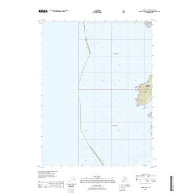
2017 · Craig B-6 SE
USGS Topo · 1:25,000
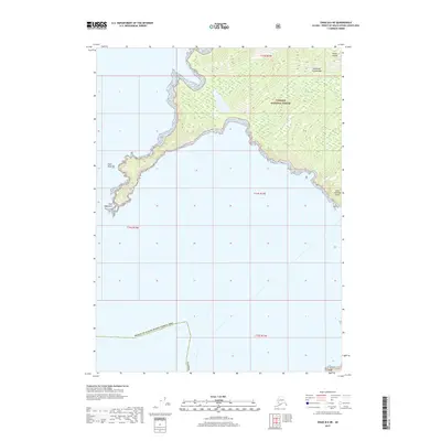
2017 · Craig B-6 NE
USGS Topo · 1:25,000
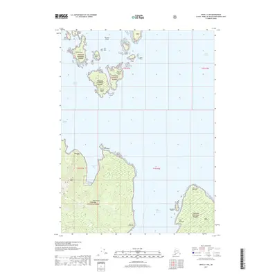
2017 · Craig C-5 SW
USGS Topo · 1:25,000