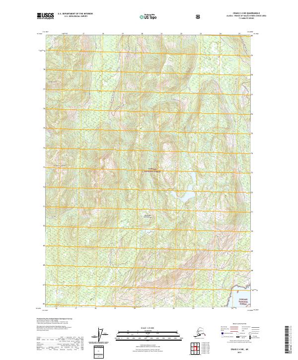
2021 Map of Craig C-4 NE
USGS Topo · Published 2021About this map
The Tongass National Forest landscape within the Alexander Archipelago reveals a highly managed timber and watershed environment in this 2021 study. Steep peaks like Kogish Mtn and Staney Cone dominate the northwestern terrain, giving way to a dense network of forest service roads and drainage systems. The presence of numerous named spurs, such as Twin Spur, Ridge Spur, and Saddle Spur, reflects decades of logging access across the interior of Prince of Wales Island. Major drainage basins for Staney Cr and Shaheen Cr are clearly delineated, showing how these water systems intersect with the intricate road trails, including the 2050332 Road Trl. This map serves as a vital record of the modern forest infrastructure, tracing the paths that connect remote inland valleys to the coastal fringes of the archipelago.
Find a feature on this map
25 named features on this map. Tap any name to fly to it.
Don’t see what you’re looking for? This feature index may not catch every label — zoom into the map to look around manually.
Map Details
Editions of this 2021 Craig C-4 NE Map
This is the sole edition of this map. No revisions or reprints were ever made.
Other maps of this area

1949 · Craig D-3
USGS Topo · 1:63,360

1949 · Craig D-4
USGS Topo · 1:63,360

1949 · Craig C-3
USGS Topo · 1:63,360

1949 · Craig C-4
USGS Topo · 1:63,360

1950 · Craig D-3
USGS Topo · 1:63,360

1951 · Craig C-3
USGS Topo · 1:63,360

1951 · Craig C-4
USGS Topo · 1:63,360

1951 · Craig D-4
USGS Topo · 1:63,360

1957 · Craig
USGS Topo · 1:250,000
1994 · Craig D-3
USGS Topo · 1:63,360