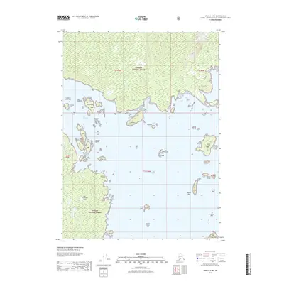
2017 Map of Craig C-4 SW
USGS Topo · Published 2017About this map
San Fernando Island and a dense archipelago of the Tongass National Forest define this coastal landscape in the Prince of Wales-Hyder Census Area. The intricate shoreline is marked by prominent maritime landmarks such as Point Polocano and Fern Point, with navigation through the San Christoval Channel and Cruz Pass dictated by numerous hazards. Marine features including Larzatita Island Reef, San Christoval Rock, and Wadleigh Rock emphasize the area's maritime complexity. Small landmasses like Rosary Island, Sombrero Island, and the cluster known as The Witnesses are scattered throughout San Alberto Bay. This survey captures the topographical nuances of the Alexander Archipelago's uninhabited reaches, where the interaction of tides and timbered islands creates a challenging environment for mariners and a pristine sanctuary within the national forest system.
Find a feature on this map
32 named features on this map. Tap any name to fly to it.
Don’t see what you’re looking for? This feature index may not catch every label — zoom into the map to look around manually.
Map Details
Editions of this 2017 Craig C-4 SW Map
This is the sole edition of this map. No revisions or reprints were ever made.
Other maps of this area

1948 · Craig B-5
USGS Topo · 1:63,360

1949 · Craig C-4
USGS Topo · 1:63,360

1949 · Craig B-4
USGS Topo · 1:63,360

1951 · Craig B-4
USGS Topo · 1:63,360

1951 · Craig C-4
USGS Topo · 1:63,360

1951 · Craig C-5
USGS Topo · 1:63,360

1957 · Craig
USGS Topo · 1:250,000

2000 · Craig B-5
USGS Topo · 1:63,360
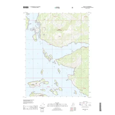
2017 · Craig B-4 NE
USGS Topo · 1:25,000
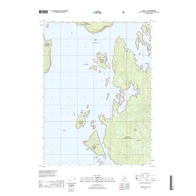
2017 · Craig C-5 NE
USGS Topo · 1:25,000