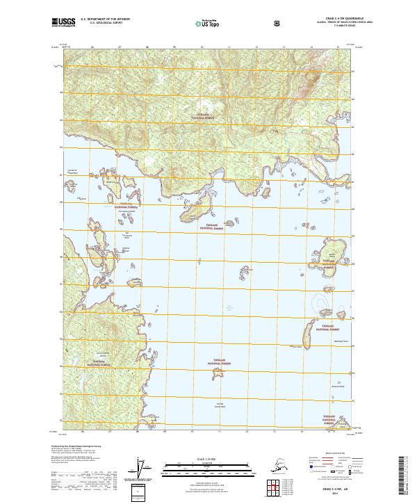
2021 Map of Craig C-4 SW
USGS Topo · Published 2021About this map
Tongass National Forest dominates this coastal landscape in the Alexander Archipelago, where dense island clusters meet the deep waters of the Pacific. The intricate shoreline of San Fernando Island reveals a complex network of points and bays, including Punta Palo Cano and Fern Point at its southern tip. This maritime environment is defined by its navigational hazards and protective passages, where landmarks like The Witnesses and San Christoval Rock stand as critical markers for those traversing the San Christoval Channel.
Find a feature on this map
35 named features on this map. Tap any name to fly to it.
Don’t see what you’re looking for? This feature index may not catch every label — zoom into the map to look around manually.
Map Details
Editions of this 2021 Craig C-4 SW Map
This is the sole edition of this map. No revisions or reprints were ever made.
Other maps of this area

1948 · Craig B-5
USGS Topo · 1:63,360

1949 · Craig C-4
USGS Topo · 1:63,360

1949 · Craig B-4
USGS Topo · 1:63,360

1951 · Craig B-4
USGS Topo · 1:63,360

1951 · Craig C-4
USGS Topo · 1:63,360

1951 · Craig C-5
USGS Topo · 1:63,360

1957 · Craig
USGS Topo · 1:250,000

2000 · Craig B-5
USGS Topo · 1:63,360
2017 · Craig B-4 NE
USGS Topo · 1:25,000
2017 · Craig C-5 NE
USGS Topo · 1:25,000