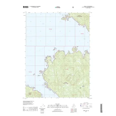
2017 Map of Craig C-5 SE
USGS Topo · Published 2017About this map
San Fernando Island dominates this maritime survey of the Alexander Archipelago, showing a coastline defined by intricate bays and dangerous rocky outcrops. Much of the land is protected within the Tongass National Forest, which covers the dense terrain of the island's interior. The surrounding waters of the Gulf of Esquibel and San Christoval Channel are dotted with navigational hazards, including Abrejo Rocks and Quitasueno Rock.
Find a feature on this map
32 named features on this map. Tap any name to fly to it.
Don’t see what you’re looking for? This feature index may not catch every label — zoom into the map to look around manually.
Map Details
Editions of this 2017 Craig C-5 SE Map
This is the sole edition of this map. No revisions or reprints were ever made.
Other maps of this area

1948 · Craig B-5
USGS Topo · 1:63,360

1949 · Craig C-4
USGS Topo · 1:63,360

1949 · Craig B-4
USGS Topo · 1:63,360

1951 · Craig B-4
USGS Topo · 1:63,360

1951 · Craig C-4
USGS Topo · 1:63,360

1951 · Craig C-5
USGS Topo · 1:63,360

1957 · Craig
USGS Topo · 1:250,000

2000 · Craig B-5
USGS Topo · 1:63,360
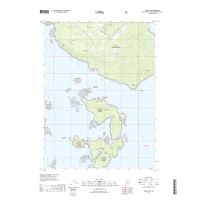
2017 · Craig C-5 NW
USGS Topo · 1:25,000
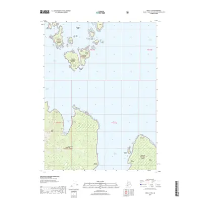
2017 · Craig C-5 SW
USGS Topo · 1:25,000