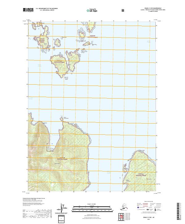
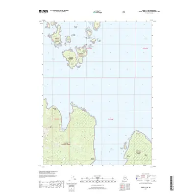
2021 Map of Craig C-5 SW
USGS Topo · Published 2021About this map
Tongass National Forest encompasses this island-strewn maritime landscape within the Prince of Wales-Hyder Census Area. The topography is defined by the sharp elevations of Noyes Island, rising to the summit of Noyes Peak, and the complex shorelines of the San Lorenzo Islands. Navigational features like Steamboat Bay and the Saint Nicholas Channel illustrate the vital water passages that connect these remote landmasses. The map details the rugged coastal points, including Point San Francisco and Point Santa Gertrudis on Lulu Island, which serve as critical landmarks in an area dominated by intricate inlets and dense forest cover. This survey captures a modern view of the archipelago, where the intersection of high peaks and protected passages like Sonora Passage dictates the pattern of human access and natural resource management.
Find a feature on this map
29 named features on this map. Tap any name to fly to it.
Don’t see what you’re looking for? This feature index may not catch every label — zoom into the map to look around manually.
Map Details
Editions of this 2021 Craig C-5 SW Map
This is the sole edition of this map. No revisions or reprints were ever made.
Other maps of this area

1948 · Craig B-5
USGS Topo · 1:63,360

1948 · Craig B-6
USGS Topo · 1:63,360

1951 · Craig C-6
USGS Topo · 1:63,360

1951 · Craig C-5
USGS Topo · 1:63,360

1957 · Craig
USGS Topo · 1:250,000
2000 · Craig B-6
USGS Topo · 1:63,360

2000 · Craig B-5
USGS Topo · 1:63,360
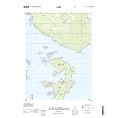
2017 · Craig C-5 NW
USGS Topo · 1:25,000
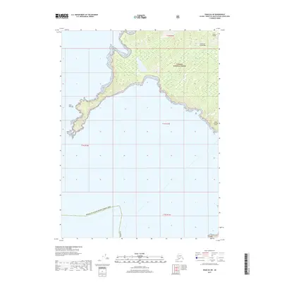
2017 · Craig B-6 NE
USGS Topo · 1:25,000
2017 · Craig C-5 SW
USGS Topo · 1:25,000