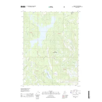
2017 Map of Craig D-3 NW
USGS Topo · Published 2017About this map
Sweetwater Lake dominates the central landscape of this Southeast Alaskan territory, situated within the expansive Tongass National Forest. The map documents a complex aqueous environment of tidal lagoons and inland freshwater bodies, including the descriptively named Gold and Galligan Lagoon and Lake Bay. Of particular interest to recreational historians is the Honker Divide Canoe Route, which threads through the southern half of the sheet, providing a documented waterway through the dense timberlands.
Find a feature on this map
42 named features on this map. Tap any name to fly to it.
Don’t see what you’re looking for? This feature index may not catch every label — zoom into the map to look around manually.
Map Details
Editions of this 2017 Craig D-3 NW Map
This is the sole edition of this map. No revisions or reprints were ever made.
Other maps of this area

1949 · Craig D-3
USGS Topo · 1:63,360

1949 · Petersburg A-3
USGS Topo · 1:63,360

1949 · Craig D-4
USGS Topo · 1:63,360

1949 · Petersburg A-4
USGS Topo · 1:63,360

1950 · Craig D-3
USGS Topo · 1:63,360

1951 · Craig D-4
USGS Topo · 1:63,360

1952 · Petersburg
USGS Topo · 1:250,000

1953 · Petersburg A-4
USGS Topo · 1:63,360

1953 · Petersburg A-3
USGS Topo · 1:63,360

1957 · Craig
USGS Topo · 1:250,000