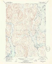
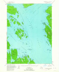
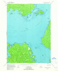
1953 Map of Petersburg A-4
USGS Topo · Published 1954About this map
Prince Of Wales Island and the surrounding Alexander Archipelago waterways define this mid-century topographical study of Southeast Alaska. The intricate shoreline is marked by tidal passages and coves, including El Capitan Passage and Whale Passage, which weave between Kosciusko Island and smaller landmasses like Thorne Island. A rare human footprint in this wilderness appears at Camp Taylor (Aband) on the western coast of the island. Interior features are characterized by steep elevations, such as El Capitan Peak, and significant freshwater bodies like Neck Lake and Salmon Bay Lake. This survey reflects the region's character as part of the Tongass National Forest, showcasing a landscape dominated by water-accessible points like Aneskett Pt and Sarkeen Cove before significant modern development altered these remote islands.
Find a feature on this map
29 named features on this map. Tap any name to fly to it.
Don’t see what you’re looking for? This feature index may not catch every label — zoom into the map to look around manually.
Map Details
Editions of this 1953 Petersburg A-4 Map
2 editions found

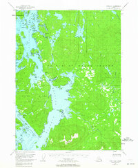
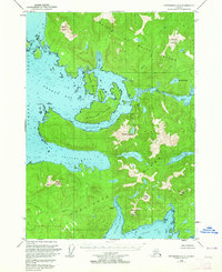
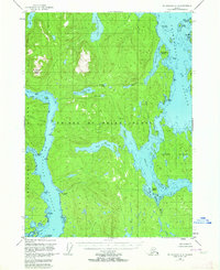
Other maps of this area
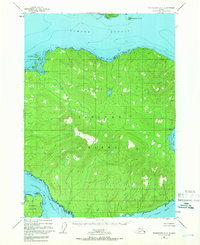
1948 · Petersburg B-3
USGS Topo · 1:63,360
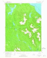
1949 · Craig D-3
USGS Topo · 1:63,360
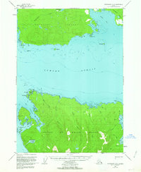
1949 · Petersburg B-5
USGS Topo · 1:63,360
1949 · Petersburg A-3
USGS Topo · 1:63,360
1949 · Craig D-4
USGS Topo · 1:63,360
1949 · Petersburg A-5
USGS Topo · 1:63,360
1949 · Petersburg A-4
USGS Topo · 1:63,360
1949 · Petersburg B-4
USGS Topo · 1:63,360

1950 · Craig D-3
USGS Topo · 1:63,360
1951 · Craig D-5
USGS Topo · 1:63,360