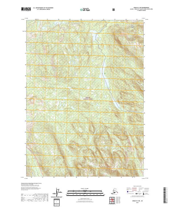
2021 Map of Craig D-3 SW
USGS Topo · Published 2021About this map
Tongass National Forest dominates this section of Prince of Wales Island, where the interior wilderness is etched with forest service spurs and specialized water routes. The landscape transitions from the heights of Log Tom Ridge and Steep Stream Slope down to the drainage of Hatchery Creek and Lilliam Cr. A notable recreational feature is the Honker Divide Canoe Route Trl, which threads through the center of the sheet towards Toms Lake. The network of logging roads, including Log Jam Lakes Spur One and Steelhead Spur One, reflects the active forest management of the North Prince of Wales region. This survey documents the intersection of industrial access and wilderness preservation at Camp Meadow, providing a detailed spatial record of the island's interior navigation and timber infrastructure.
Find a feature on this map
20 named features on this map. Tap any name to fly to it.
Don’t see what you’re looking for? This feature index may not catch every label — zoom into the map to look around manually.
Map Details
Editions of this 2021 Craig D-3 SW Map
This is the sole edition of this map. No revisions or reprints were ever made.
Other maps of this area

1949 · Craig D-3
USGS Topo · 1:63,360

1949 · Craig D-4
USGS Topo · 1:63,360

1949 · Craig C-3
USGS Topo · 1:63,360

1949 · Craig C-4
USGS Topo · 1:63,360

1950 · Craig D-3
USGS Topo · 1:63,360

1951 · Craig C-3
USGS Topo · 1:63,360

1951 · Craig C-4
USGS Topo · 1:63,360

1951 · Craig D-4
USGS Topo · 1:63,360

1957 · Craig
USGS Topo · 1:250,000
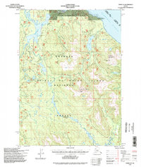
1994 · Craig D-3
USGS Topo · 1:63,360