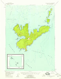
1948 Map of Craig D-7 and D-8
USGS Topo · Published 1958About this map
Coronation Island, a prominent landmass within the Tongass National Forest, dominates this maritime environment where the Pacific Ocean meets the labyrinthine channels of Southeast Alaska. This coastal survey reveals a landscape defined by deep-water inlets and steep elevations, including the heights of Windy Peak and Pin Peak. The presence of Helm Lt at Helm Pt indicates the historical importance of these waters for navigation, marking the southern approach to the complex shorelines of Aats Bay and Windy Bay.
Find a feature on this map
34 named features on this map. Tap any name to fly to it.
Don’t see what you’re looking for? This feature index may not catch every label — zoom into the map to look around manually.
Map Details
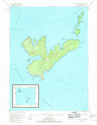
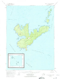
Editions of this 1948 Craig D-7 and D-8 Map
3 editions found
Other maps of this area

1948 · Port Alexander A-1
USGS Topo · 1:63,360

1948 · Port Alexander A-2
USGS Topo · 1:63,360

1951 · Port Alexander
USGS Topo · 1:250,000
1951 · Port Alexander A-2
USGS Topo · 1:63,360

1952 · Port Alexander
USGS Topo · 1:250,000

1957 · Craig
USGS Topo · 1:250,000

1964 · Port Alexander
USGS Topo · 1:250,000
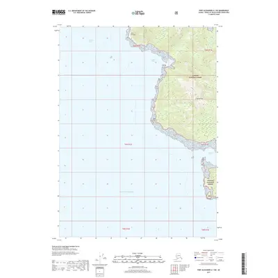
2017 · Port Alexander A-1 SW
USGS Topo · 1:25,000
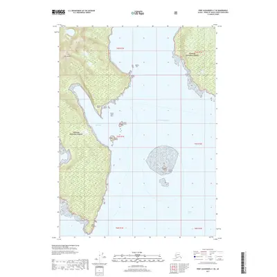
2017 · Port Alexander A-1 SE
USGS Topo · 1:25,000
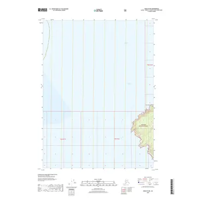
2018 · Craig D-8 NE
USGS Topo · 1:25,000