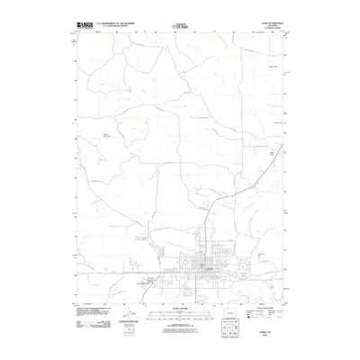
2010 Map of Craig
USGS Topo · Published 2010About this map
Craig serves as the regional hub at the confluence of human industry and the high desert landscape, positioned where Fortification Creek joins the Yampa River. The town's layout is defined by a grid of streets like Ranney St and E Victory Way, while the surrounding geography is marked by essential water management infrastructure, including the Wisconsin Ditch and the Craig Ditch. To the north, Cedar Mountain overlooks a landscape deeply involved in resource extraction, evidenced by the cluster of mining and quarrying operations south and east of the city center. The presence of the Three Sisters Mine, Edmundson Mine, and several industrial sites like the Moon Pit and Grace Pit highlights the importance of the local geology to the regional economy. This 2010 survey records the intricate network of county roads, such as County Rd-103 and County Rd-22, that link outlying ranches and gulches to the urban core.
Find a feature on this map
43 named features on this map. Tap any name to fly to it.
Don’t see what you’re looking for? This feature index may not catch every label — zoom into the map to look around manually.
Map Details
Editions of this 2010 Craig Map
This is the sole edition of this map. No revisions or reprints were ever made.
Other maps of this area

1910 · Danforth Hills
USGS Topo · 1:125,000

1915 · Monument Butte
USGS Topo · 1:62,500

1916 · Craig
USGS Topo · 1:125,000

1916 · Daton Peak
USGS Topo · 1:62,500

1920 · Daton Peak
USGS Topo · 1:62,500

1923 · Elkhead Creek
USGS Topo · 1:62,500

1924 · Elkhead Creek
USGS Topo · 1:62,500

1954 · Craig
USGS Topo · 1:250,000

1957 · Craig
USGS Topo · 1:250,000

1958 · Craig
USGS Topo · 1:250,000