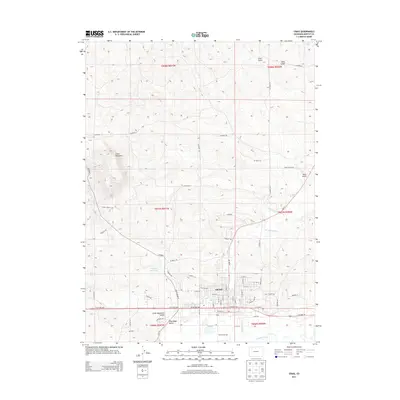
2013 Map of Craig
USGS Topo · Published 2013About this map
Craig serves as the focal point of this 2013 survey, situated along the northern bank of the Yampa River. The landscape is defined by the transition from the city's residential grid, including streets like Ranney St and E 12th St, to the complex network of draws and ridges to the north and west. Water management is central to the area's geography, visible through the Wisconsin Ditch, Craig Ditch, and Coyote Reservoir.
Find a feature on this map
56 named features on this map. Tap any name to fly to it.
Don’t see what you’re looking for? This feature index may not catch every label — zoom into the map to look around manually.
Map Details
Editions of this 2013 Craig Map
This is the sole edition of this map. No revisions or reprints were ever made.
Other maps of this area

1910 · Danforth Hills
USGS Topo · 1:125,000

1915 · Monument Butte
USGS Topo · 1:62,500

1916 · Craig
USGS Topo · 1:125,000

1916 · Daton Peak
USGS Topo · 1:62,500

1920 · Daton Peak
USGS Topo · 1:62,500

1923 · Elkhead Creek
USGS Topo · 1:62,500

1924 · Elkhead Creek
USGS Topo · 1:62,500

1954 · Craig
USGS Topo · 1:250,000

1957 · Craig
USGS Topo · 1:250,000

1958 · Craig
USGS Topo · 1:250,000