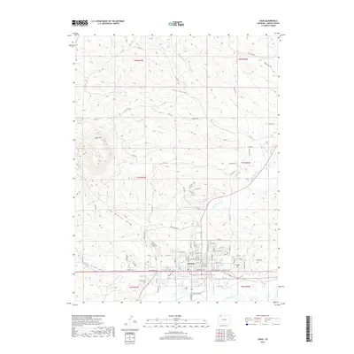
2019 Map of Craig
USGS Topo · Published 2019About this map
The Craig city center serves as the focal point for this 2019 survey, showing the modern street grid as it expands toward the surrounding Colorado plateau. Located at the intersection of critical regional arteries like Great Divide Rd, the town is anchored by the Moffat County Courthouse. The local landscape is defined by the high desert drainage system of the Yampa River and its many tributaries, including Fortification Creek and the deep cuts of Cedar Mountain Gulch.
Find a feature on this map
64 named features on this map. Tap any name to fly to it.
Don’t see what you’re looking for? This feature index may not catch every label — zoom into the map to look around manually.
Map Details
Editions of this 2019 Craig Map
This is the sole edition of this map. No revisions or reprints were ever made.
Other maps of this area

1910 · Danforth Hills
USGS Topo · 1:125,000

1915 · Monument Butte
USGS Topo · 1:62,500

1916 · Craig
USGS Topo · 1:125,000

1916 · Daton Peak
USGS Topo · 1:62,500

1920 · Daton Peak
USGS Topo · 1:62,500

1923 · Elkhead Creek
USGS Topo · 1:62,500

1924 · Elkhead Creek
USGS Topo · 1:62,500

1954 · Craig
USGS Topo · 1:250,000

1957 · Craig
USGS Topo · 1:250,000

1958 · Craig
USGS Topo · 1:250,000