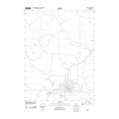
1916 Map of Craig
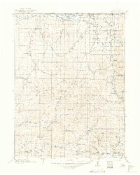
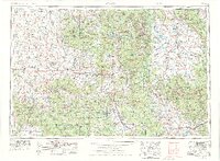
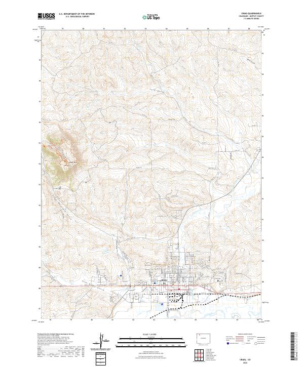
USGS Topo · Published 1949About this map
Craig stands as a vital hub in Northwest Colorado during the early twentieth century, situated along the Yampa River and the terminus of the Denver and Salt Lake railroad. This survey captures a sprawling landscape of ranching and livestock operations, where family holdings like the Timberlake Ranch, Davidson Ranch, and O V O Ranch dot the high country between the Little Snake River and the southern river valleys. To the west, the settlement of Lay and its Lay Valley School represent the localized community centers that supported the region's homesteaders.
Find a feature on this map
77 named features on this map. Tap any name to fly to it.
Don’t see what you’re looking for? This feature index may not catch every label — zoom into the map to look around manually.
Map Details
Editions of this 1916 Craig Map
2 editions found

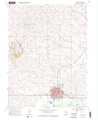
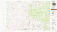
Historical Maps of Craig Through Time
15 maps found
1916 Craig
Moffat County, CO
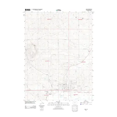
1954 Craig
Moffat County, CO

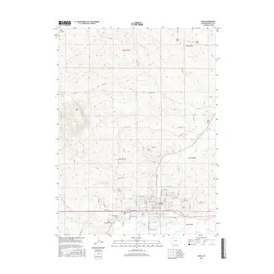
1957 Craig
Moffat County, CO

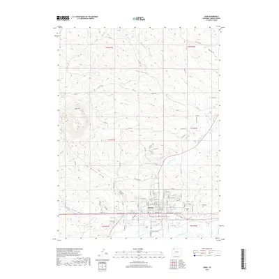
1958 Craig
Moffat County, CO

1960 Craig
Moffat County, CO

1962 Craig
Moffat County, CO

1964 Craig
Moffat County, CO

1965 Craig
Moffat County, CO
1969 Craig
Moffat County, CO
1979 Craig
Moffat County, CO
2010 Craig
Moffat County, CO
2013 Craig
Moffat County, CO
2016 Craig
Moffat County, CO
2019 Craig
Moffat County, CO
2022 Craig
Moffat County, CO