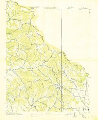
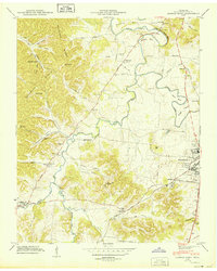
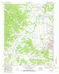
1953 Map of Craigfield
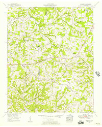
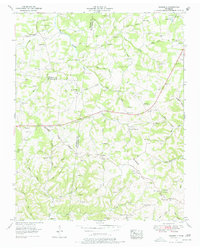
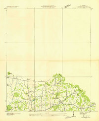
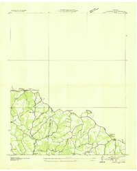
USGS Topo · Published 1957This historical map portrays the area of Craigfield in 1953, primarily covering Williamson County as well as portions of Hickman County and Dickson County. Featuring a scale of 1:24000, this map provides a highly detailed snapshot of the terrain, roads, buildings, counties, and historical landmarks in the Craigfield region at the time. Published in 1957, it is one of 3 known editions of this map due to revisions or reprints.
Find a feature on this map
76 named features on this map. Tap any name to fly to it.
Don’t see what you’re looking for? This feature index may not catch every label — zoom into the map to look around manually.
Map Details
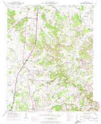
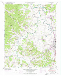
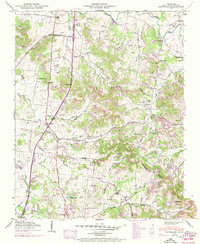
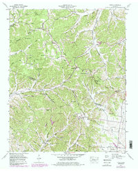
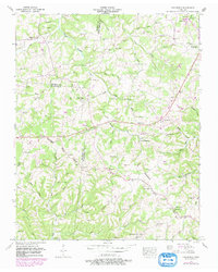
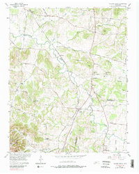
Editions of this 1953 Craigfield Map
3 editions found
Historical Maps of Daugherty Estates Through Time
12 maps found
1936 Bethesda
Williamson County, TN
1936 Craigfield
Williamson County, TN
1936 Theta
Williamson County, TN
1946 Bethesda
Williamson County, TN
1946 Leipers Fork
Williamson County, TN
1949 Bethesda
Williamson County, TN
1949 Leipers Fork
Williamson County, TN
1951 Theta
Williamson County, TN
1953 Craigfield
Williamson County, TN
1957 College Grove
Williamson County, TN
1981 Leipers Fork
Williamson County, TN
1982 Bethesda
Williamson County, TN