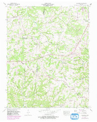
1953 Map of Craigfield
USGS Topo · Published 1980About this map
The Tennessee Valley Divide snakes across this terrain, separating the watersheds of the Harpeth and Duck Rivers. This landscape is defined by its deep hollows and family-named landmarks, most notably the milling history found at Spencers Mill on Parker Creek. The map records a dense network of country roads connecting rural community centers like Tidwell and the namesake Craigfield, alongside specialized local commerce at Lampley Store.
Find a feature on this map
81 named features on this map. Tap any name to fly to it.
Don’t see what you’re looking for? This feature index may not catch every label — zoom into the map to look around manually.
Map Details
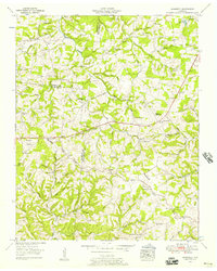
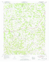
Editions of this 1953 Craigfield Map
3 editions found
Other maps of this area

1901 · Colombia
USGS Topo · 1:125,000

1930 · White Bluff
USGS Topo · 1:62,500

1933 · White Bluff
USGS Topo · 1:62,500

1936 · Primm
USGS Topo · 1:24,000

1936 · Littlelot
USGS Topo · 1:24,000

1936 · Theta
USGS Topo · 1:24,000

1936 · Burns
USGS Topo · 1:24,000

1936 · Craigfield
USGS Topo · 1:24,000

1936 · Lyles
USGS Topo · 1:24,000
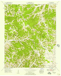
1951 · Theta
USGS Topo · 1:24,000