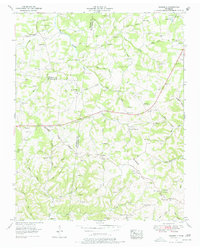
1953 Map of Craigfield
USGS Topo · Published 1978About this map
The Tennessee Valley Divide snakes across this central Tennessee landscape, marking the high ground where the headwaters of Turnbull Creek and South Harpeth Creek diverge. In the early 1950s, this region was a network of rural crossroads and family-held land, evidenced by the high concentration of named cemeteries like Lampley Cem and Cunningham Cem. The small community of Craigfield sits near the center, while Lampley Store serves as a localized hub for the surrounding valley farms. Education and faith were clearly centered on local landmarks, with numerous schoolhouses such as McFarland Sch and Triangle Sch appearing alongside churches like Mt Zion Ch and Greens Chapel. The rugged topography is defined by deep drainages like Mangrum Hollow and the numerous branches feeding the South Harpeth Creek, reflecting a traditional agricultural and timber-reliant economy before modern suburban expansion reached these hills.
Find a feature on this map
86 named features on this map. Tap any name to fly to it.
Don’t see what you’re looking for? This feature index may not catch every label — zoom into the map to look around manually.
Map Details
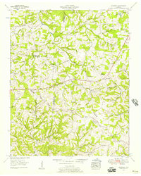
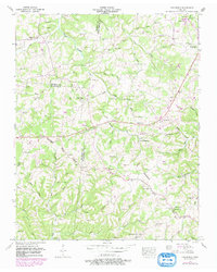
Editions of this 1953 Craigfield Map
3 editions found
Other maps of this area

1901 · Colombia
USGS Topo · 1:125,000

1930 · White Bluff
USGS Topo · 1:62,500

1933 · White Bluff
USGS Topo · 1:62,500

1936 · Primm
USGS Topo · 1:24,000

1936 · Littlelot
USGS Topo · 1:24,000

1936 · Theta
USGS Topo · 1:24,000

1936 · Burns
USGS Topo · 1:24,000

1936 · Craigfield
USGS Topo · 1:24,000

1936 · Lyles
USGS Topo · 1:24,000
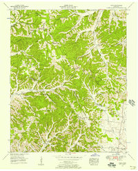
1951 · Theta
USGS Topo · 1:24,000