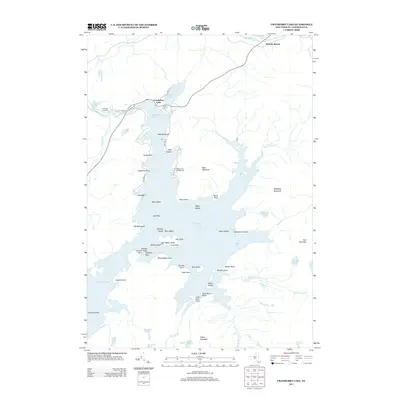
2013 Map of Cranberry Lake
USGS Topo · Published 2013About this map
Cranberry Lake dominates this Adirondack landscape, serving as the central hub for the settlement and recreational geography of the region. The village of Cranberry Lake sits at the northern edge where the Oswegatchie River exits the basin, supported by local infrastructure like the Cranberry Lake Cemetery and the Cranberry Lake Campground. The shoreline is deeply indented with landmarks such as Witchhobble Point and Janacks Point, while the water itself is dotted with named landforms including Matilda Island, Buck Island, and the specifically titled Kimball Arnolds Island Point.
Find a feature on this map
64 named features on this map. Tap any name to fly to it.
Don’t see what you’re looking for? This feature index may not catch every label — zoom into the map to look around manually.
Map Details
Editions of this 2013 Cranberry Lake Map
This is the sole edition of this map. No revisions or reprints were ever made.
Other maps of this area

1907 · Tupper Lake
USGS Topo · 1:62,500

1919 · Cranberry Lake
USGS Topo · 1:62,500

1920 · Childwold
USGS Topo · 1:62,500

1921 · Cranberry Lake
USGS Topo · 1:62,500

1921 · Childwold
USGS Topo · 1:48,000

1921 · Stark
USGS Topo · 1:62,500

1922 · Childwold
USGS Topo · 1:62,500

1923 · Stark
USGS Topo · 1:62,500

1931 · Cranberry Lake
USGS Topo · 1:62,500

1940 · Stark
USGS Topo · 1:62,500