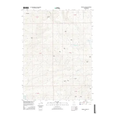
2017 Map of Crandall Canyon
USGS Topo · Published 2017About this map
The Weber River winds through the southwestern corner of this Summit County landscape, where the settlement of Oakley transitions into the steep drainage systems of the Wasatch Range. The topography is defined by a series of significant canyons including Crandall Canyon, Cherry Canyon, and Dunford Canyon, which channel water toward the valley floor. High-altitude water management is evident in the presence of the Sargent Number One Reservoir and Elkhorn Reservoir, positioned along the ridgelines near Elkhorn Divide.
Find a feature on this map
31 named features on this map. Tap any name to fly to it.
Don’t see what you’re looking for? This feature index may not catch every label — zoom into the map to look around manually.
Map Details
Editions of this 2017 Crandall Canyon Map
This is the sole edition of this map. No revisions or reprints were ever made.
Other maps of this area
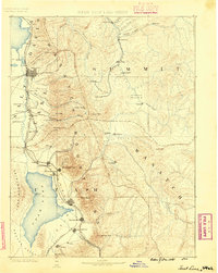
1885 · Salt Lake
USGS Topo · 1:250,000
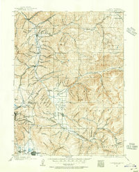
1900 · Coalville
USGS Topo · 1:125,000
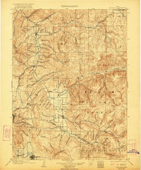
1903 · Coalville
USGS Topo · 1:125,000
1954 · Salt Lake City
USGS Topo · 1:250,000
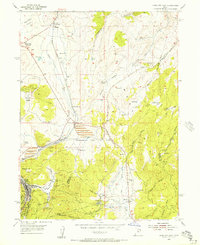
1955 · Park City East
USGS Topo · 1:24,000
1958 · Salt Lake City
USGS Topo · 1:250,000
1960 · Salt Lake City
USGS Topo · 1:250,000
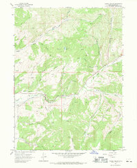
1967 · Turner Hollow
USGS Topo · 1:24,000
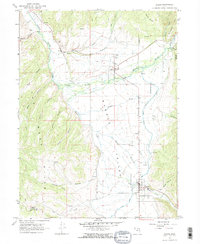
1967 · Kamas
USGS Topo · 1:24,000
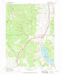
1967 · Wanship
USGS Topo · 1:24,000