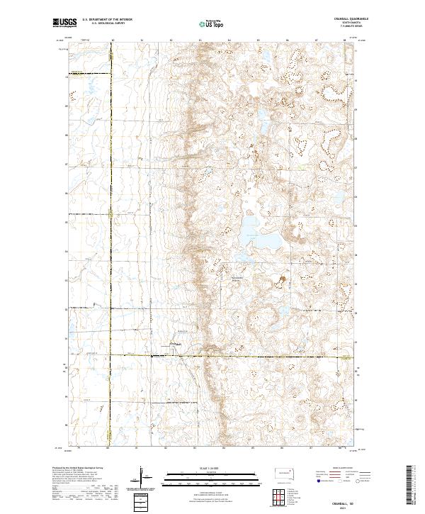
2021 Map of Crandall
USGS Topo · Published 2021About this map
The small settlement of Crandall serves as the focal point of this Day County survey, situated at the intersection of State Hwy 20 and Co Rd 41. The landscape is dominated by the prominent geological formation known as the Coteau des Prairies, a high plateau that rises above the surrounding plains. This terminal moraine terrain is characterized by numerous small glacial depressions and wetlands, with Sweetwater Lake standing out as a significant water feature in the northeastern portion of the area. For those researching local history, the Crandall Cem provides a tangible link to the early inhabitants of this prairie community. The map also delineates the complex boundary lines where Day, Spink, Brown, and Clark counties converge, reflecting the administrative divisions of this agricultural region in the eastern part of the state.
Find a feature on this map
33 named features on this map. Tap any name to fly to it.
Don’t see what you’re looking for? This feature index may not catch every label — zoom into the map to look around manually.
Map Details
Editions of this 2021 Crandall Map
This is the sole edition of this map. No revisions or reprints were ever made.
Other maps of this area

1894 · Conde
USGS Topo · 1:62,500

1895 · Aberdeen
USGS Topo · 1:125,000

1953 · Milbank
USGS Topo · 1:250,000

1954 · Ferney
USGS Topo · 1:24,000

1954 · Aberdeen
USGS Topo · 1:250,000

1956 · Aberdeen
USGS Topo · 1:250,000

1958 · Milbank
USGS Topo · 1:250,000
1958 · Conde
USGS Topo · 1:24,000

1958 · Andover SW
USGS Topo · 1:24,000
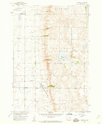
1958 · Crandall
USGS Topo · 1:24,000