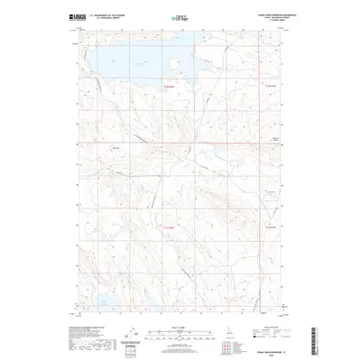
2020 Map of Crane Creek Reservoir
USGS Topo · Published 2020About this map
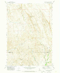
Crane Creek Reservoir dominates the northern landscape of this Washington County study, where irrigation and ranching infrastructure define the local geography. The map illustrates a network of essential rural access routes including Upper Soulen Ranch Rd and Big Flat Rd, which trace the drainage basins of S Crane Cr and Tennison Cr. The terrain is characterized by prominent landforms such as Ant Butte and Tennison Ridge, providing a clear look at the elevation changes between the high rangeland and the water storage at Paddock Valley Reservoir to the south. This survey captures the land management patterns of modern Idaho, documenting the named roads and waterways that support the agricultural economy of the region.
Find a feature on this map
17 named features on this map. Tap any name to fly to it.
Don’t see what you’re looking for? This feature index may not catch every label — zoom into the map to look around manually.
Map Details
Editions of this 2020 Crane Creek Reservoir Map
This is the sole edition of this map. No revisions or reprints were ever made.
Other maps of this area

1894 · Squaw Creek
USGS Topo · 1:125,000

1897 · Weiser
USGS Topo · 1:125,000

1955 · Baker
USGS Topo · 1:250,000

1957 · Crane Creek Reservoir
USGS Topo · 1:62,500

1959 · Baker
USGS Topo · 1:250,000
1970 · Paddock Valley Reservoir
USGS Topo · 1:24,000
1970 · Coonrod Gulch
USGS Topo · 1:24,000

1970 · Granger Butte
USGS Topo · 1:24,000
1970 · Riley Butte
USGS Topo · 1:24,000
1970 · Holland Gulch
USGS Topo · 1:24,000