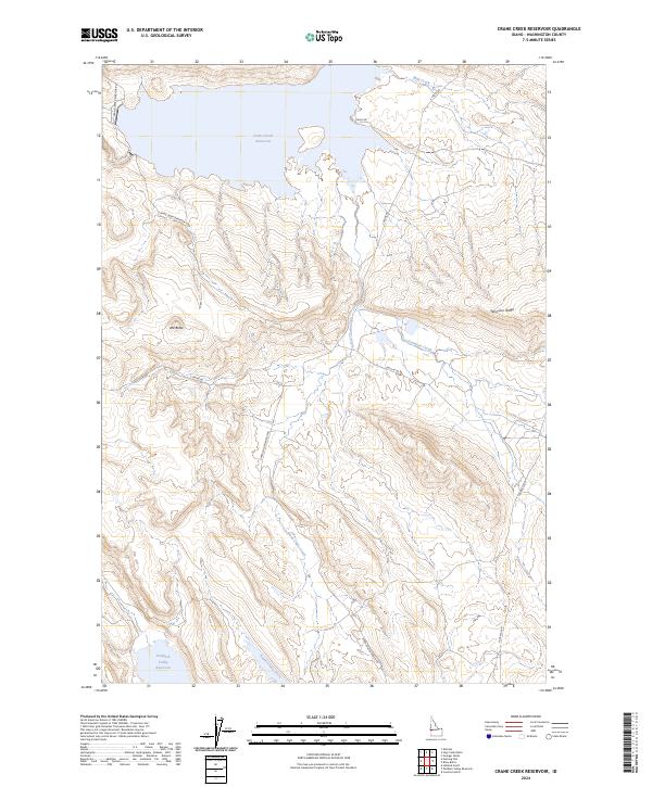
2024 Map of Crane Creek Reservoir
USGS Topo · Published 2024About this map
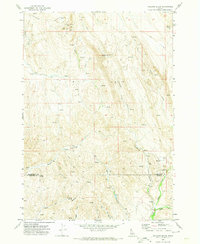
Crane Creek Reservoir dominates the northern landscape of this contemporary Washington County survey, serving as a focal point for water management in this arid region. The topography is defined by significant elevation changes, from the heights of Ant Butte and Tennison Ridge down to the drainage of South Crane Creek. To the south, a portion of the Paddock Valley Reservoir is visible, connected by a network of rural routes such as Upper Soulen Ranch Rd and Big Flat Rd. These roads trace the contours of the land, providing access to ranch lands and remote ridges. The mapping of Tennison Creek and Milk Creek further illustrates the hydrological patterns that have shaped local ranching and land use across the T11N and T12N townships.
Find a feature on this map
18 named features on this map. Tap any name to fly to it.
Don’t see what you’re looking for? This feature index may not catch every label — zoom into the map to look around manually.
Map Details
Editions of this 2024 Crane Creek Reservoir Map
This is the sole edition of this map. No revisions or reprints were ever made.
Other maps of this area

1894 · Squaw Creek
USGS Topo · 1:125,000

1897 · Weiser
USGS Topo · 1:125,000

1955 · Baker
USGS Topo · 1:250,000

1957 · Crane Creek Reservoir
USGS Topo · 1:62,500

1959 · Baker
USGS Topo · 1:250,000
1970 · Paddock Valley Reservoir
USGS Topo · 1:24,000
1970 · Coonrod Gulch
USGS Topo · 1:24,000

1970 · Granger Butte
USGS Topo · 1:24,000
1970 · Riley Butte
USGS Topo · 1:24,000
1970 · Holland Gulch
USGS Topo · 1:24,000