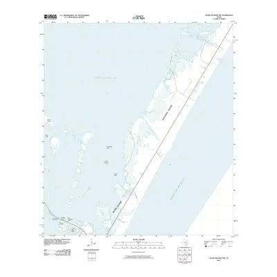
2010 Map of Crane Islands NW
USGS Topo · Published 2010About this map
Mustang Island and Padre Island form the primary coastal barrier between the open Gulf of Mexico and the shallow interior waters of the Laguna Madre and Corpus Christi Bay. This coastal landscape is defined by its shifting aquatic topography, featuring named depressions like Dead Man Hole, Kates Hole, and Boat Hole that suggest a long history of maritime navigation and local lore. Human activity is concentrated along the transport corridors of Park Rd 22 and Access Rd No 3, which facilitate access to the water. The southwestern portion of the map reveals a clustering of maritime infrastructure, including the Marker 37 Marina, The Coastway Marina, and Puenta Vista Marina. Small landforms like Demit Island and the Crane Islands are scattered through the bay, illustrating the fragile and dynamic nature of the Texas barrier island system in the early twenty-first century.
Find a feature on this map
18 named features on this map. Tap any name to fly to it.
Don’t see what you’re looking for? This feature index may not catch every label — zoom into the map to look around manually.
Map Details
Editions of this 2010 Crane Islands NW Map
This is the sole edition of this map. No revisions or reprints were ever made.
Other maps of this area

1925 · Aransas Pass
USGS Topo · 1:62,500

1925 · Oso Creek
USGS Topo · 1:62,500

1925 · Corpus Christi
USGS Topo · 1:62,500

1950 · Corpus Christi
USGS Topo · 1:250,000

1951 · Portland
USGS Topo · 1:24,000

1951 · Corpus Christi
USGS Topo · 1:62,500

1951 · Crane Islands NW
USGS Topo · 1:24,000

1951 · Oso Creek NE
USGS Topo · 1:24,000

1951 · Crane Islands SW
USGS Topo · 1:24,000

1951 · Oso Creek
USGS Topo · 1:62,500