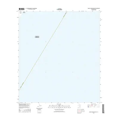
2016 Map of Crane Islands NW OE E
USGS Topo · Published 2016About this map
Corpus Christi waters dominate this coastal survey, which captures a specific offshore area within the Nueces County boundaries during the mid-2010s. The map illustrates the maritime character of the region, focusing on the open expanse just off the Gulf Coast near Port Aransas. While primarily an aquatic sheet, the northwestern corner features a portion of Mustang Island, a critical barrier landform that defines the local geography. The layout emphasizes the jurisdictional divisions of the Texas coast, marking the boundary between county and city authority over these coastal waters. It serves as a precise record of the shoreline and territorial limits before any subsequent natural or developmental shifts altered the landscape of this Gulf of Mexico entryway.
Find a feature on this map
5 named features on this map. Tap any name to fly to it.
Don’t see what you’re looking for? This feature index may not catch every label — zoom into the map to look around manually.
Map Details
Editions of this 2016 Crane Islands NW OE E Map
This is the sole edition of this map. No revisions or reprints were ever made.
Other maps of this area

1925 · Aransas Pass
USGS Topo · 1:62,500

1950 · Corpus Christi
USGS Topo · 1:250,000

1951 · Crane Islands NW
USGS Topo · 1:24,000

1951 · Crane Islands SW
USGS Topo · 1:24,000

1951 · Crane Islands
USGS Topo · 1:62,500

1954 · Port Ingleside
USGS Topo · 1:24,000
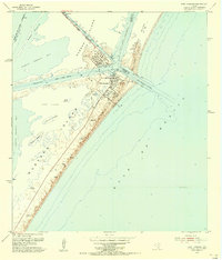
1954 · Port Aransas
USGS Topo · 1:24,000

1954 · Aransas Pass
USGS Topo · 1:62,500

1956 · Corpus Christi
USGS Topo · 1:250,000

1960 · Corpus Christi
USGS Topo · 1:250,000