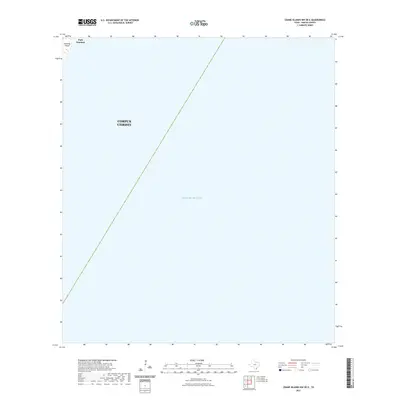
2022 Map of Crane Islands NW OE E
USGS Topo · Published 2022About this map
Mustang Island defines the northwestern corner of this coastal survey, where the settlement of Port Aransas meets the open waters of the Gulf of Mexico. This map provides a specialized focus on the offshore expanse of the Gulf, charting the maritime territory under the jurisdiction of Corpus Christi. The cartography emphasizes the relationship between the fragile barrier island ecosystem and the expansive marine environment of Nueces County. While the landmass is concentrated in the extreme northwest, the inclusion of municipal boundaries extending into the sea illustrates the coastal reach of mainland governance over these waters. It is an essential document for understanding contemporary shoreline boundaries and the maritime approach to one of the most significant ports on the Texas coast.
Find a feature on this map
5 named features on this map. Tap any name to fly to it.
Don’t see what you’re looking for? This feature index may not catch every label — zoom into the map to look around manually.
Map Details
Editions of this 2022 Crane Islands NW OE E Map
This is the sole edition of this map. No revisions or reprints were ever made.
Other maps of this area

1925 · Aransas Pass
USGS Topo · 1:62,500

1950 · Corpus Christi
USGS Topo · 1:250,000

1951 · Crane Islands NW
USGS Topo · 1:24,000

1951 · Crane Islands SW
USGS Topo · 1:24,000

1951 · Crane Islands
USGS Topo · 1:62,500

1954 · Port Ingleside
USGS Topo · 1:24,000
1954 · Port Aransas
USGS Topo · 1:24,000

1954 · Aransas Pass
USGS Topo · 1:62,500

1956 · Corpus Christi
USGS Topo · 1:250,000

1960 · Corpus Christi
USGS Topo · 1:250,000