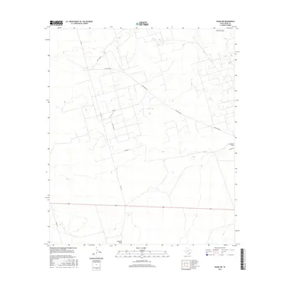
2016 Map of Crane NW
USGS Topo · Published 2016About this map
Landreth Draw meanders through this section of the Permian Basin, defining the natural drainage patterns across a landscape heavily shaped by the energy industry. The road network reflects the region’s functional development, with routes like Arco Plant Rd and S Exxon Rd highlighting the presence of petroleum infrastructure. This 2016 survey by the U.S. Geological Survey illustrates a modern industrial geography where legacy names like Sand Camp Rd and Navajo Rd intersect with practical thoroughfares such as Dump Ground Rd. The layout of FM 1601 N provides the primary north-south transit, connecting dispersed industrial sites and ranching access points. Researchers will find a clear record of how the terrain has been subdivided for utility and resource extraction in the early 21st century.
Find a feature on this map
9 named features on this map. Tap any name to fly to it.
Don’t see what you’re looking for? This feature index may not catch every label — zoom into the map to look around manually.
Map Details
Editions of this 2016 Crane NW Map
This is the sole edition of this map. No revisions or reprints were ever made.
Other maps of this area

1928 · Crane
USGS Topo · 1:125,000

1954 · Pecos
USGS Topo · 1:250,000

1957 · Pecos
USGS Topo · 1:250,000

1964 · Doodle Bug Well
USGS Topo · 1:24,000

1964 · Penwell SE
USGS Topo · 1:24,000

1964 · Perkins Lake
USGS Topo · 1:24,000

1974 · Tubbs Corner
USGS Topo · 1:24,000

1974 · Crane SW
USGS Topo · 1:24,000
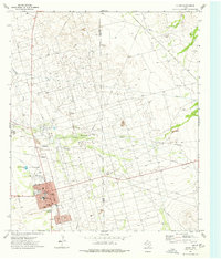
1974 · Crane
USGS Topo · 1:24,000

1974 · Juan Cordona Lake
USGS Topo · 1:24,000