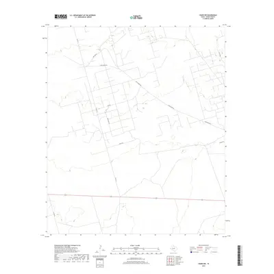
2019 Map of Crane NW
USGS Topo · Published 2019About this map
Landreth Draw cuts across the northeastern corner of this West Texas landscape, a region defined by its industrial road network and desert terrain. The area is heavily marked by energy and infrastructure development, evidenced by specialized thoroughfares such as Arco Rd and Arco Plant Rd that suggest the proximity of processing facilities or field operations.
Find a feature on this map
10 named features on this map. Tap any name to fly to it.
Don’t see what you’re looking for? This feature index may not catch every label — zoom into the map to look around manually.
Map Details
Editions of this 2019 Crane NW Map
This is the sole edition of this map. No revisions or reprints were ever made.
Other maps of this area

1928 · Crane
USGS Topo · 1:125,000

1954 · Pecos
USGS Topo · 1:250,000

1957 · Pecos
USGS Topo · 1:250,000

1964 · Doodle Bug Well
USGS Topo · 1:24,000

1964 · Penwell SE
USGS Topo · 1:24,000

1964 · Perkins Lake
USGS Topo · 1:24,000

1974 · Tubbs Corner
USGS Topo · 1:24,000

1974 · Crane SW
USGS Topo · 1:24,000
1974 · Crane
USGS Topo · 1:24,000

1974 · Juan Cordona Lake
USGS Topo · 1:24,000