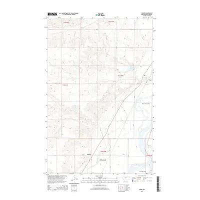
2014 Map of Crane
USGS Topo · Published 2014About this map
The Yellowstone River flows through the southeastern corner of this Richland County landscape, shaping a geography defined by irrigated agriculture and small rural settlements. The community of Crane serves as a central point, supported by the local Crane Cem and a Po (Post Office), while smaller hamlets like Midway and Hoffmanville dot the western reaches of the river valley. The intricate water management system is evident through the Main Canal, which parallels the river and MT-16, providing essential irrigation to the surrounding fields.
Find a feature on this map
29 named features on this map. Tap any name to fly to it.
Don’t see what you’re looking for? This feature index may not catch every label — zoom into the map to look around manually.
Map Details
Editions of this 2014 Crane Map
This is the sole edition of this map. No revisions or reprints were ever made.
Other maps of this area

1909 · Glendive
USGS Topo · 1:250,000

1954 · Glendive
USGS Topo · 1:250,000

1957 · Glendive
USGS Topo · 1:250,000

1958 · Glendive
USGS Topo · 1:250,000

1966 · Savage
USGS Topo · 1:24,000

1966 · Crane NE
USGS Topo · 1:24,000

1966 · Crane NW
USGS Topo · 1:24,000

1966 · Piche
USGS Topo · 1:24,000

1966 · Knife River Mine
USGS Topo · 1:24,000

1966 · Crane
USGS Topo · 1:24,000