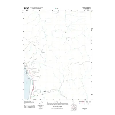
2012 Map of Crannell
USGS Topo · Published 2012About this map
Westhaven and Moonstone anchor the rocky coastline of northern Humboldt County in this 2012 survey, where the rugged Pacific shore meets a landscape shaped by timber and ranching. The presence of Old Railroad Grade Rd and numerous creek-bound gulches like Water Gulch point to a legacy of logging infrastructure that once moved timber through the hills. Near the mouth of the Little River, agricultural life is visible through family-held properties such as Peters Ranch, Buckley Ranch, and the Reimann Ranch.
Find a feature on this map
54 named features on this map. Tap any name to fly to it.
Don’t see what you’re looking for? This feature index may not catch every label — zoom into the map to look around manually.
Map Details
Editions of this 2012 Crannell Map
This is the sole edition of this map. No revisions or reprints were ever made.
Other maps of this area

1922 · Eureka
USGS Topo · 1:62,500

1922 · Korbel
USGS Topo · 1:62,500

1925 · Hoopa
USGS Topo · 1:125,000

1933 · Eureka
USGS Topo · 1:48,000

1942 · Eureka
USGS Topo · 1:62,500

1945 · Trinidad
USGS Topo · 1:62,500

1945 · Coyote Peak
USGS Topo · 1:62,500

1945 · Blue Lake
USGS Topo · 1:62,500

1948 · Weed
USGS Topo · 1:250,000

1949 · Eureka
USGS Topo · 1:250,000