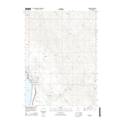
2015 Map of Crannell
USGS Topo · Published 2015About this map
Crannell and the northern reaches of McKinleyville appear here along the Humboldt County coast, where the Little River meets the Pacific Ocean. The landscape transitions from the coastal bluffs at Moonstone Beach and Tepona Point into a complex network of ridges and drainages. This 2015 survey reveals a terrain heavily shaped by industrial legacy, evidenced by names like Old Railroad Grade Rd and Hammond Truck Rd, alongside timber-related labels like McConnahas Mill Cr and L P Mill Rd. The map detail follows the northern path of the coastal highway through Westhaven and Moonstone, while inland, the rugged interior is defined by peaks such as Twentyone Rock and geographical features like The Gap. Numerous small watercourses, including Luffenholtz Cr and Maple Cr, carve through the hills towards the sea.
Find a feature on this map
58 named features on this map. Tap any name to fly to it.
Don’t see what you’re looking for? This feature index may not catch every label — zoom into the map to look around manually.
Map Details
Editions of this 2015 Crannell Map
This is the sole edition of this map. No revisions or reprints were ever made.
Other maps of this area

1922 · Eureka
USGS Topo · 1:62,500

1922 · Korbel
USGS Topo · 1:62,500

1925 · Hoopa
USGS Topo · 1:125,000

1933 · Eureka
USGS Topo · 1:48,000

1942 · Eureka
USGS Topo · 1:62,500

1945 · Trinidad
USGS Topo · 1:62,500

1945 · Coyote Peak
USGS Topo · 1:62,500

1945 · Blue Lake
USGS Topo · 1:62,500

1948 · Weed
USGS Topo · 1:250,000

1949 · Eureka
USGS Topo · 1:250,000