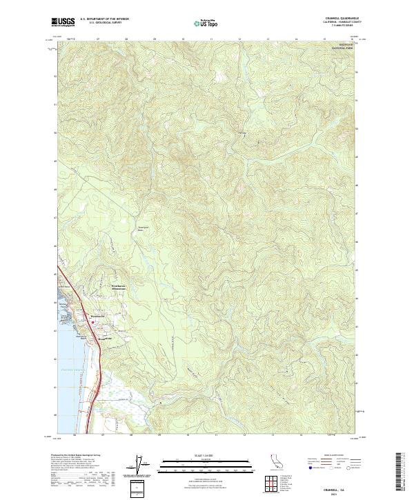
2021 Map of Crannell
USGS Topo · Published 2021About this map
Moonstone Beach and the coastal bluffs of northern Humboldt County define this coastal landscape, where the Pacific Ocean meets a rugged shoreline of points and sea stacks. The residential communities of Westhaven-Moonstone, Westhaven, and Moonstone are clustered near the coast, served by a network of local roads such as Westhaven Dr and Old Wagon Rd. To the north, the boundary of Redwood National Park marks a shift toward protected forest lands. Inland, the terrain rises sharply toward Tip Top Ridge and The Gap, dissected by numerous watercourses including the Little River, Maple Cr, and Luffenholtz Cr. The presence of an Old RR Grade N near Water Gulch provides a trace of historical timber transport routes that once navigated the steep drainages and ridges of this coastal range.
Find a feature on this map
67 named features on this map. Tap any name to fly to it.
Don’t see what you’re looking for? This feature index may not catch every label — zoom into the map to look around manually.
Map Details
Editions of this 2021 Crannell Map
This is the sole edition of this map. No revisions or reprints were ever made.
Other maps of this area

1922 · Eureka
USGS Topo · 1:62,500

1922 · Korbel
USGS Topo · 1:62,500

1925 · Hoopa
USGS Topo · 1:125,000

1933 · Eureka
USGS Topo · 1:48,000

1942 · Eureka
USGS Topo · 1:62,500

1945 · Trinidad
USGS Topo · 1:62,500

1945 · Coyote Peak
USGS Topo · 1:62,500

1945 · Blue Lake
USGS Topo · 1:62,500

1948 · Weed
USGS Topo · 1:250,000

1949 · Eureka
USGS Topo · 1:250,000