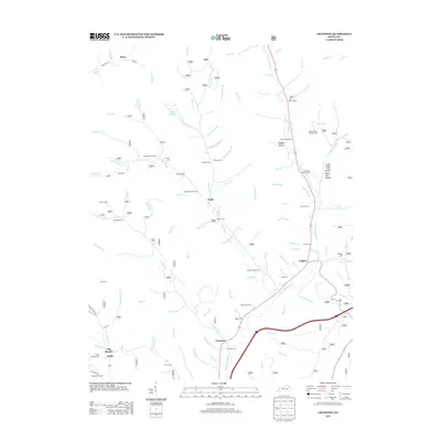
2013 Map of Cranston
USGS Topo · Published 2013About this map
Island Fork and Rock Fork converge near the settlement of Waltz, anchoring a landscape defined by narrow creek valleys and named hollows. This 2013 survey of northeastern Kentucky reveals a dense distribution of family burial grounds, including the Anderson Family Cem, Maddox-Hamm Cem, and Plank Family Cem, which offer significant value for genealogical research. The topography is marked by distinct features such as Poplar Hollow and the Hickory Flats Lookout Tower situated on the eastern ridges. Along the southern reach, the small communities of Cranston and Triplett sit near the winding banks of the N Fork Triplett Cr, while Lake Lewman provides a notable water feature to the north. This map documents a rural transition where traditional homesteads and family names remain etched into the geography of the hills.
Find a feature on this map
114 named features on this map. Tap any name to fly to it.
Don’t see what you’re looking for? This feature index may not catch every label — zoom into the map to look around manually.
Map Details
Editions of this 2013 Cranston Map
This is the sole edition of this map. No revisions or reprints were ever made.
Other maps of this area

1929 · Morehead
USGS Topo · 1:48,000

1929 · Salt Lick
USGS Topo · 1:62,500

1934 · Salt Lick
USGS Topo · 1:62,500

1935 · Morehead
USGS Topo · 1:62,500

1950 · Head Of Grassy
USGS Topo · 1:24,000

1951 · Soldier
USGS Topo · 1:24,000

1951 · Cranston
USGS Topo · 1:24,000

1951 · Stricklett
USGS Topo · 1:24,000

1951 · Plummers Landing
USGS Topo · 1:24,000

1951 · Burtonville
USGS Topo · 1:24,000